


No products in the cart.
Return To Shop
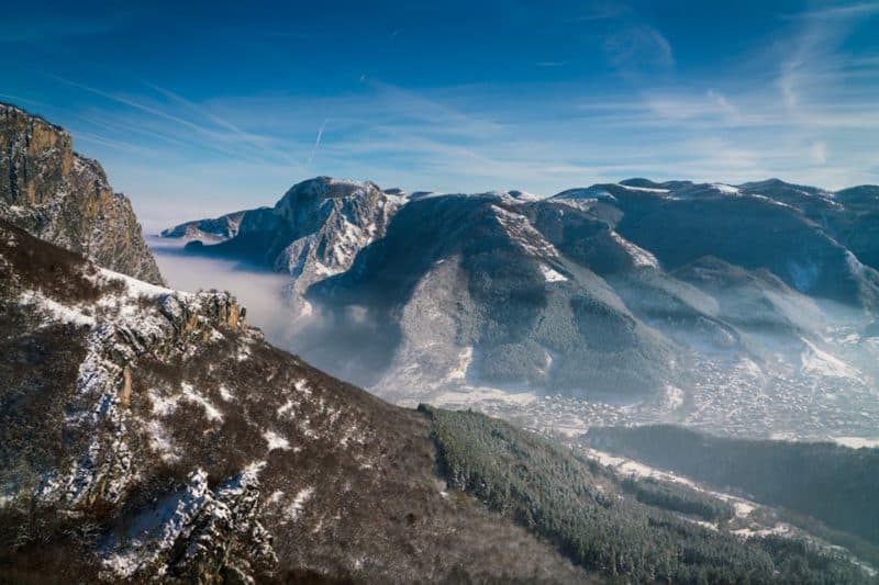
Iskar Gorge
It is well-known to everyone that water is life and all of the civilizations built their towns near rivers exactly because of this fact. The...


 BannerText_Seraphinite Accelerator

