


No products in the cart.
Return To Shop
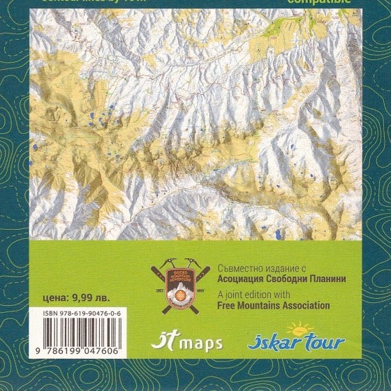


Map of Northwestern Rila 1:25 000
€16.00
Northwestern Rila map
- Scale 1:25 000, with contour lines by 10 meters;
- Sizes: 12/22 cm folded and 100/70 cm expanded.
Created by IskarTour publishing house.
The map shows the marked walking routes and trails, the mountain huts and shelter locations, the boundaries of the protected areas, the ski areas, etc.
1:25 000
Map of Northwestern Rila
![]() Included sights:
Included sights:
- The famous area of the Seven Rila Lakes with the walking routes
- Rila Lakes Hut
- The Skakavitsa Waterfall area
- Skakavitsa Hut
- The Rila Monastery area
- The Ivan Vazov Hut area
- The Malyovitsa area
- The Popova Kapa
- Kupenite and the Frightful Lake area
- The Mechit Hut area
- The village of Govedartsi
Note: The map does not include the area of Musala, please refer to the Central and Eastern Rila Mountains map for that.
![]() GPS coordinates and information for some specific locations, peaks, passes and other important points is included on the back side of the map. The map has a scale line for measurement of the GPS-coordinates and distances.
GPS coordinates and information for some specific locations, peaks, passes and other important points is included on the back side of the map. The map has a scale line for measurement of the GPS-coordinates and distances.
![]() ISBN/EAN 9786199137611
ISBN/EAN 9786199137611
- Folded: 12 x 22 cm
- Full size: 100 x 70 cm
| Weight | 100 g |
|---|---|
| Dimensions | 12 × 22 cm |
| Title | Map of Northwestern Rila (1:25 000) |
| Language | English |
| Publisher | IskarTour Publishing |
| Call Us! | Contact us if you have any additional questions. |


Related products


Snowshoeing Hut-to-Hut in the Rila Mountains
From: €245.00 Select options This product has multiple variants. The options may be chosen on the product page


Mount Malyovitsa Winter Ascent
From: €120.00 Select options This product has multiple variants. The options may be chosen on the product page
Bansko Snowshoeing
From: €120.00 Select options This product has multiple variants. The options may be chosen on the product page


